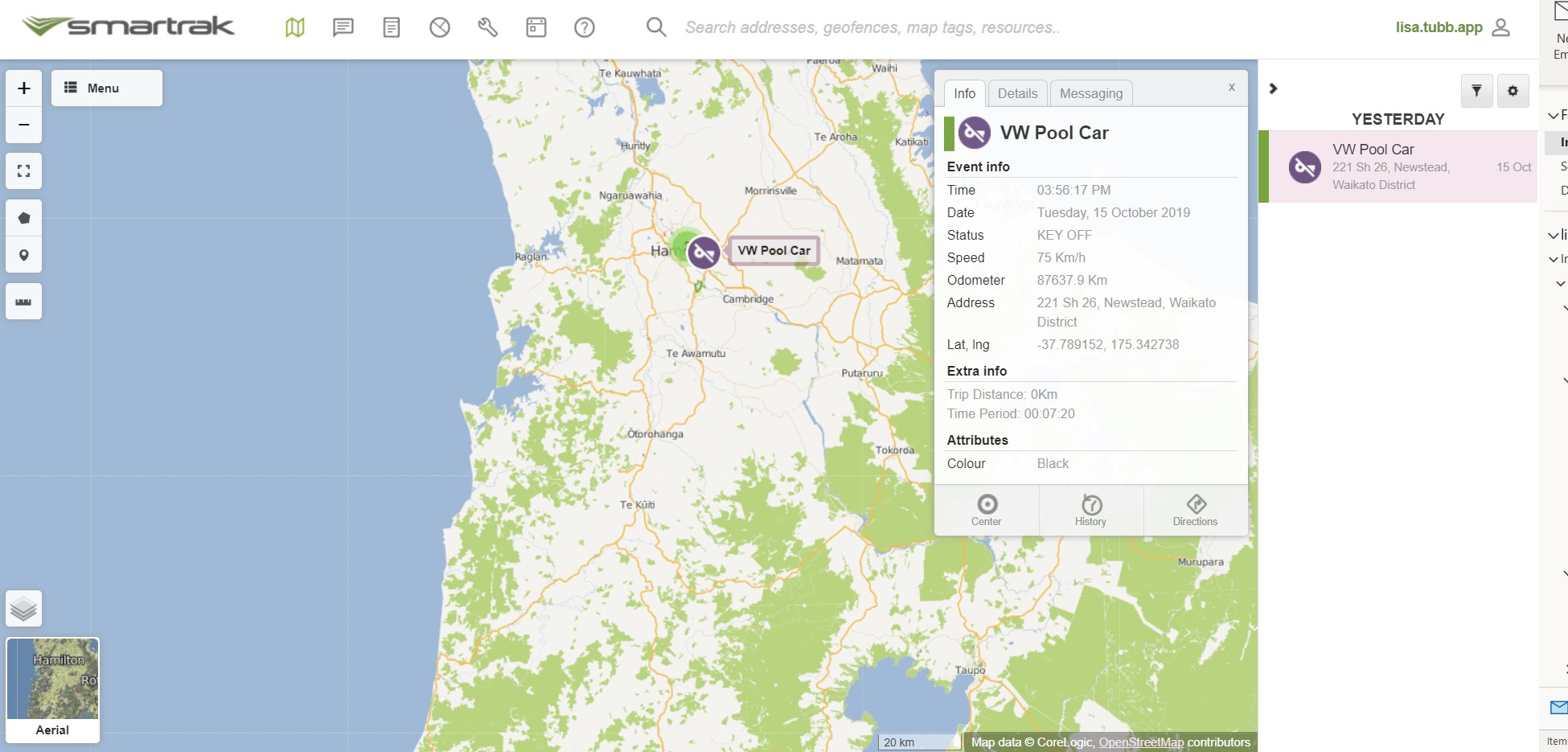
The Smartrak App Site displays vehicle information on one clear and intuitive interface.
It is extremely easy-to-use and a key feature is the ability to configure and customise the map site to suit individual preferences.
The Smartrak Map options are designed to support customers with a larger number of vehicles to reduce visual clutter and improve operational efficiency.
The Smartrak Map also displays real-time vehicle location data so the user always has the latest information, including travel speed, current location, and time of the last event.
| Map Features Self-Help Topics |
|---|
Map User | Self Help | Service Desk | Knowledge Base | Trouble shooting | Smartrak Portfolios
